For the Man Who Taught Me to Love the Ocean
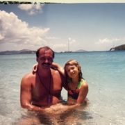
When I was nine, my dad took my stepmom and me to St. John, a smaller, less touristy Caribbean island in the U.S. Virgin Islands. Go ahead and call me spoiled now so I can tell you the rest of the story.
I loved the water, there’s no denying, but I was terrified of the ocean…terrified of the drain at the bottom of the pool…terrified of not being able to see the bottom. I had seen “Jaws” way too young. But my dad wasn’t afraid of anything. Not according to a little girl who often attached herself like a monkey to his back, constantly nagged him to throw her in the air in the pool, begged for piggyback rides underwater and would bail after three seconds. Nope. My dad was so brave–he may have even slain Jaws in my nine-year-old mind. So when he told me we were going to go snorkeling in St. John, I had some hesitation but trusted my dad to protect me no matter what.
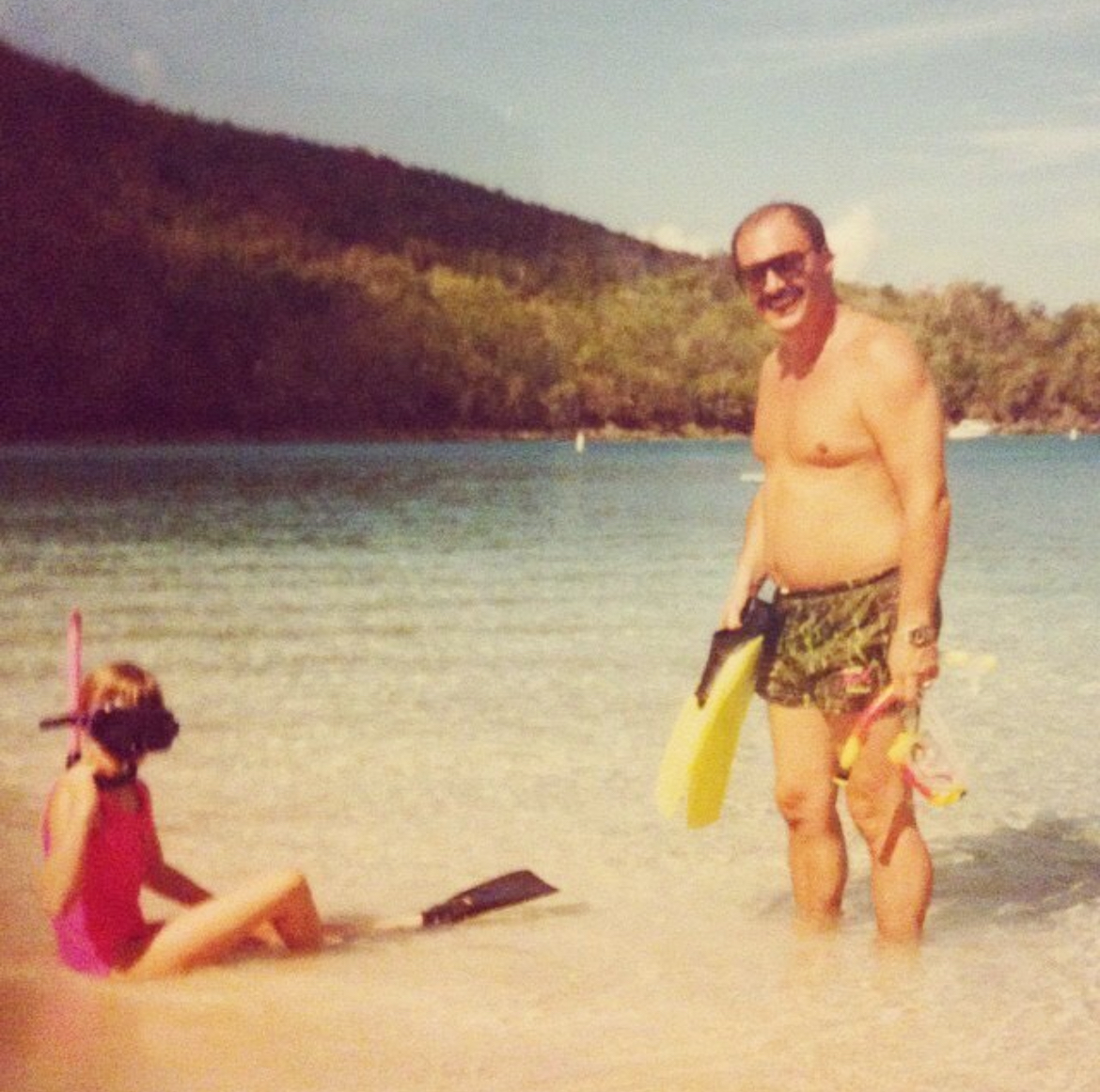
My first time snorkeling and my dad leads the way in St. John, USVI.
The first time he took me snorkeling, it was a sandy beach somewhere in St. John and I’ll never forget being so terrified, I clung to my dad, especially as the water got deeper. But! I could see to the bottom (spoiled, yes, I know) and after a while, I saw a green sea turtle! My dad, so enthusiastic about the ocean and all it’s creatures, got so excited and pointed, and through his snorkel gear a distorted and muffled:
“Jaclyn! Look! A turtle!” with his eyes wide and a smile through his snorkel.
Immediately fear left me and my dad was my favorite snorkel buddy. We went to Trunk Bay, which required me to swim to an small island, of course still clinging to my dad, and then to Cinnamon Bay, which was just as it’s name sounds–speckled with reef. I think at this point, I struck out on my own, but immediately dashed into shore when I saw a giant barracuda. But snorkeling and the ocean had sailed away with my heart and my dad was always watching at the helm, excited to see my expressions.
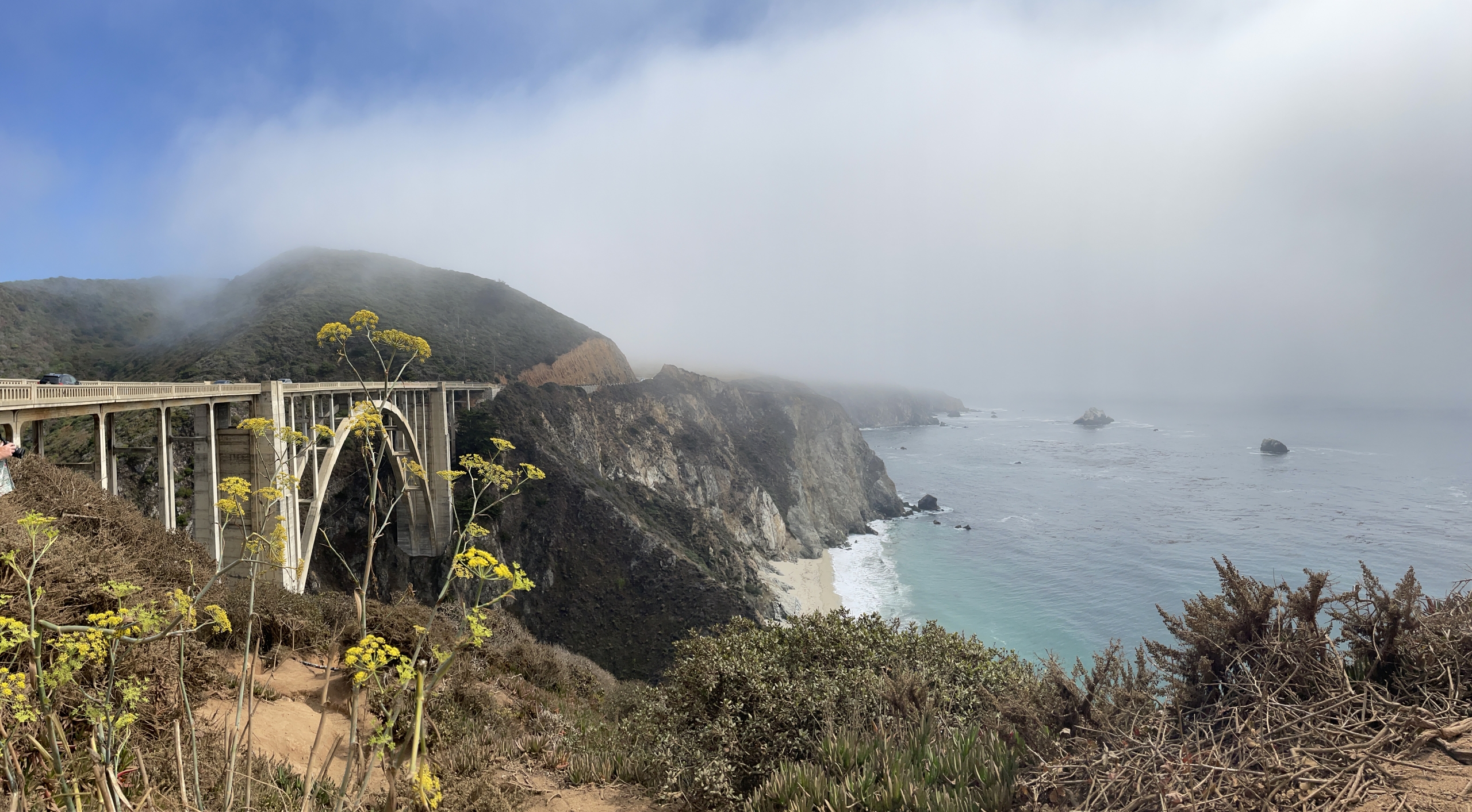
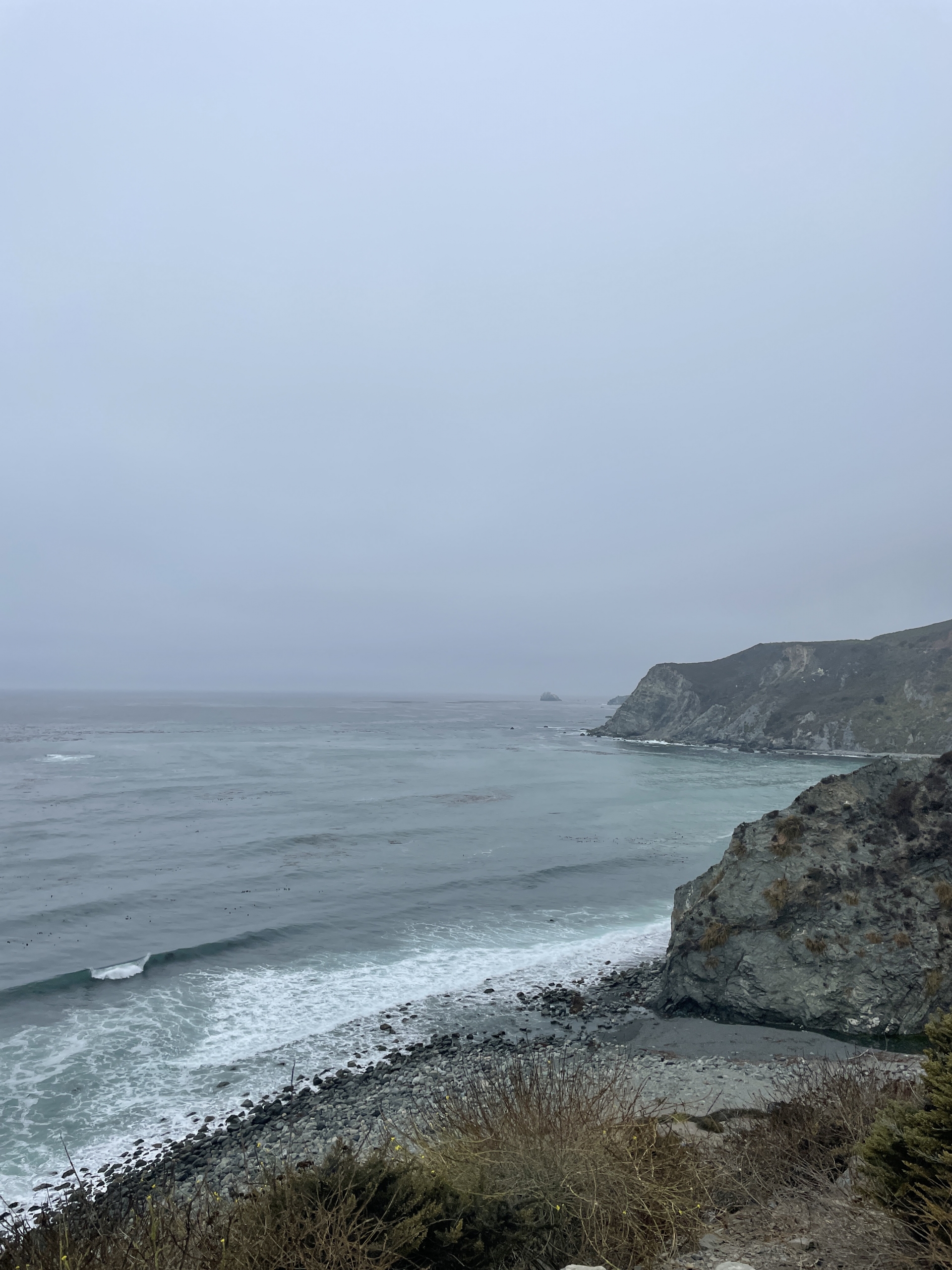
We stayed in a place called Chocolate Hole. Not going to lie–it was pretty badass. A giant villa all to ourselves, lots of rooms for me to run around in, just no AC. But the ocean was right there and what we referred to as “firecracker beach”–grapefruit-sized rocks that made a crackling sound when the small waves would crash on the shore. I wore cheesy neon water shoes to walk on the beach–it was the 90’s.
And of course there were palm trees with coconuts.
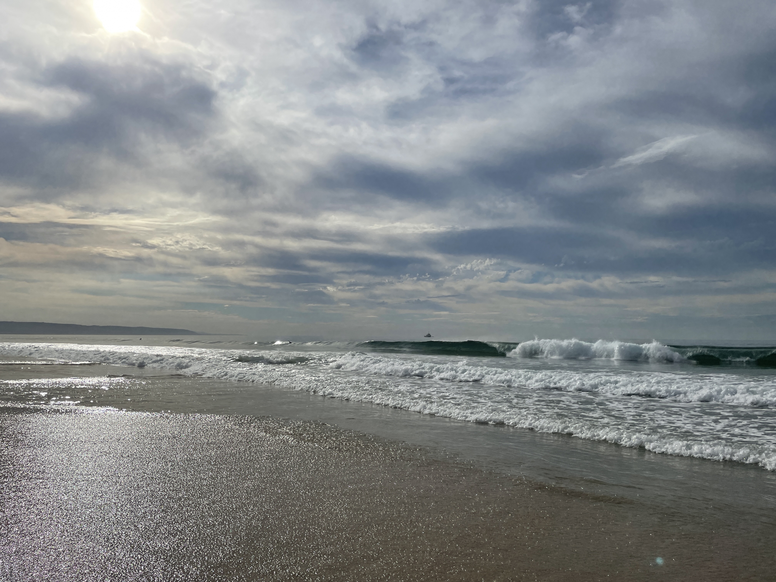
One day my dad got an itch he absolutely needed to scratch. I am very familiar with this itch. For my dad and me, once we’d get an idea set in our minds, there’s no going back. A local let him know there was excellent lobster diving just off the beach around a rocky point. Of course my dad found a way to make it an adventure. He grabbed me, our snorkel gear and pool mat and told me we were going snorkeling just out front. I was freaked out. There was no soft sand, it truly looked like shark paradise, which meant a turbulent ocean crashing against rocky cliffs. Does it get any sharkier?
I hopped aboard the S.S. Pool Mat with Captain Doug Connor and headed out to sea. Terrified, I didn’t want to look in the water, though my dad kept saying,
“Jaclyn! Look in the water! There’s so many fish! I see squid, too!”
SQUID?! What is this, “20,000 Leagues Under the Sea” ?! Where are my friendly sea turtles??

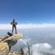
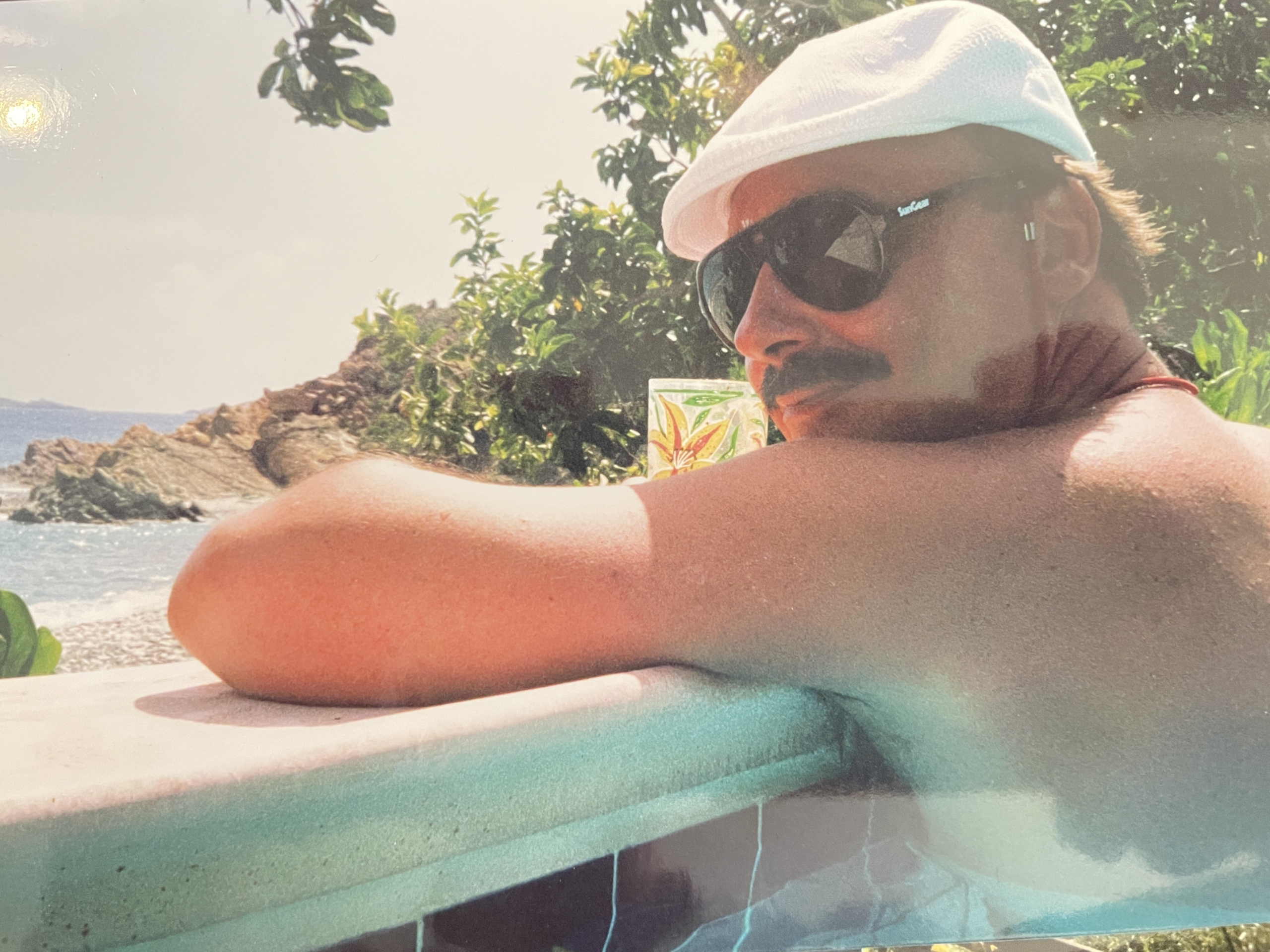
That’s my dad–Doug Connor snorkeling in front of those rocky cliffs. Pretty sure this was right before we saw the shark.
I peered into the water and it was dark–there were creatures indeed, but the warm Caribbean water was sloshing over the pool mat and made it hard to see at times. Colorful coral stuck out of the rocks, giant sea urchins as big as my head poked their spines out as if they were searching for a way to stab me and fish I didn’t recognize darted away. We rounded the rocky point and suddenly my dad got really quiet. His face was the most serious I had seen during this entire trip. He calmly set me on top of a small rock directly beneath a sandstone cliffside and very calmly and quietly said,
“Jaclyn, there is a shark in the water…”
PANIC.
The rest of his words were drowned out by my freaking out. At one point, my dad had cut himself on a rock and was bleeding. When he set me on top of the small rock, I cut my foot, as well. Locals were spearfishing in a nearby kayak and my dad tried to ask for help…and for lobster, of course. It appeared they didn’t speak English, but they did see what all the fuss was about when my dad pointed and said:
“Shark!!”
Scouting out the rocky point in Chocolate Hole on St. John in the USVIs.
They excitedly lifted their legs up into the safety of the plastic kayak and tried to catch the shark. Their cheers trailed off because my dad and I now faced our next adventure: Getting back to firecracker beach.
For some time, we sat beneath the cliffside with me still on this tiny rock and debated on whether to get back into the water and swim our way back to firecracker beach. But instead, we decided to climb up the cliffside with our pool mat and snorkel gear in tow. Dusty tan dirt kicked up and caked our arms and legs–there’d be no piggyback rides as this cliff was vertical, but thankfully not too large for my dad who forged the path, but large enough for a nine-year-old, all the same. Grasping at trees, shrubs, vines and whatever else would hold us, we made our way to the top, step by step with the pool mat flopping behind my dad as he dragged it up the cliff.
Dusty, scratched up and lobster-less, we walked down the gravel path back to Chocolate Hole and firecracker beach.
But man, did we have a great adventure and a story that lives in Connor family legend.
I can just hear my dad laughing about it now.