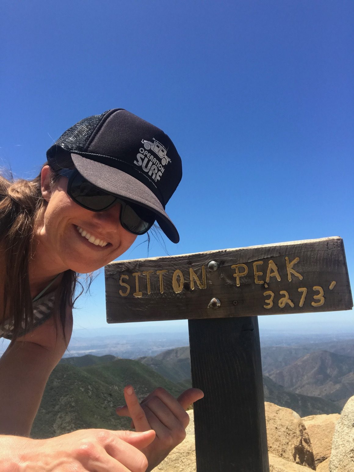
Peak 2 of 6: Sitton Peak
Peak two of six made me consider bug spray! Just when I thought it was safe to wear shorts and a tank top…
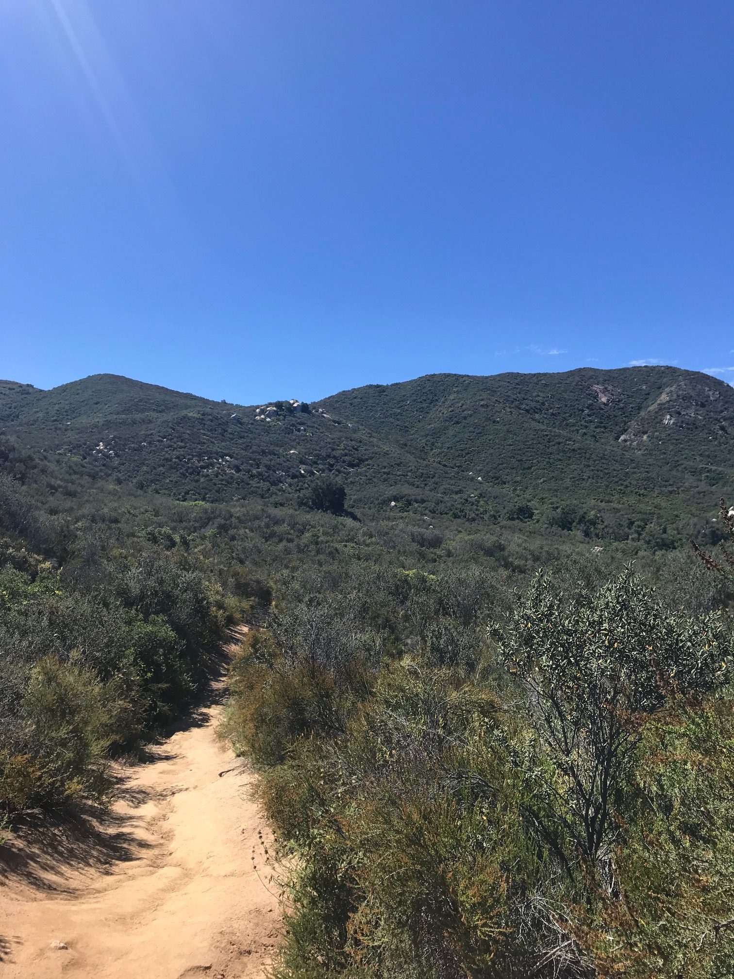
The scrubby trail to Sitton Peak.
The Hike: A local peak always sounds great, right? Find the Bear Canyon trailhead located behind the old -fashioned Candy Store off Ortega Highway. It’s easy to miss this trailhead, so if the store is open, there’s no shame in asking about the trail location. The store also offers free printed maps. This trail requires a wilderness permit, which is often available at the trailhead to fill out. If not, bring a pen and paper and leave your info in the box.
The hike begins at a moderate pace and is lined with brush and large boulders. It meanders over a creek where there are plenty of trees for shade, although there isn’t much shade elsewhere on the trail. Since there are some areas that appear to be overgrown, I was getting mountain lion vibes, which reinvigorated my machete desires. Since I was sans machete, I sang Yankee Doodle very loudly and made lots of noise as well as carried a walking stick and a rock.
The last portion to the peak is almost a literal climb. At first, it didn’t even appear to be an actual trail since it was pretty steep and looked washed out, but it is and your calves will thank you for the luscious workout.
I started around 10:00am, made it to the peak by just before 1:00pm and back to my car at 3:00pm. Why so fast? Two words: The bugs.
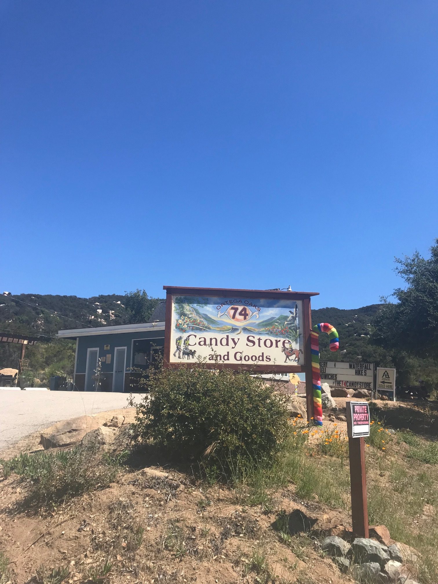
Simply titled Candy Store and Goods off the 74-Ortega Highway. Park across the street.
Driving Directions: hop on the 5 freeway and exit Ortega Highway (Hwy 74), head towards Lake Elsinore and keep going until you see “Candy Store and Goods.” Park in the national parks parking lot across the street from the store and either pay for parking or display your Adventure Pass. Carefully walk across the street.
Parking: located across the street from the candy store–no parking at the candy store
Roundtrip mileage: 12 miles, 5.5 hours*
Elevation: 3,273 feet
Elevation gain: 2,150 feet
Not sure how I made it without going insane, but I made it!
What to bring: Adventure Pass, POWERFUL BUG REPELLENT that doesn’t give you cancer, lots of water depending on the air temperature, food, hiking stick, some form of mountain lion defense, courage
Consider this: The bugs are absolutely relentless. If I stopped for longer than 2 minutes, those suckers were on me like, well, flies on meat…that was sweating…because my dumb ass decided to start my hike at 10:00 a.m. Both factors made the hike less enjoyable. For almost the entirety of the hike, I was eaten alive by mosquitoes and horseflies. Have you ever been bitten by a horsefly? They SUCK! And leave big red welts that take too long to go away. The first part of this hike is shrouded in foliage, trees, rocks…lovely vantage points for mountain lions to sneak up on you. I didn’t see any, but it was definitely on my mind since I had a run-in with one 10 years ago in Carbon Canyon.
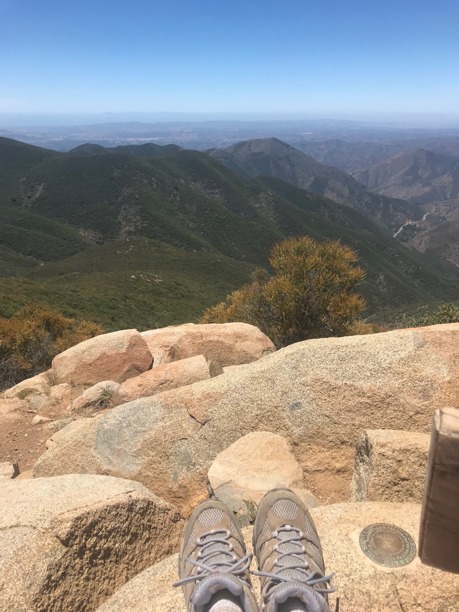
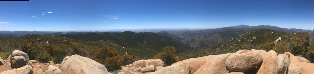
Taking in the views of the Cleveland National Forest.


