Peak 5 of 6: Mount San Antonio, a.k.a. Mt. Baldy
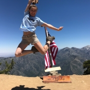
Peak five out of six had me wishing for wings on my shoes…
There are several different trails headed towards the highest peak in the San Gabriel Mountains, however, I picked the West Rim trail, also known as Mt. Baldy Trail #7W12, which is 6 miles one way to the barren peak. Park along Mt. Baldy Road near the visitor center and head down Bear Canyon Road where you’ll walk past a church and a neighborhood of mountain dwelling folk. The trail starts at the end of Bear Canyon Road where you’ll be welcomed by a beautiful bubbling stream and thousands of mosquitos and gnats. For the first 1.6 miles you’re hiking through heavily wooded areas with a fairly easy-going gradient. Once you reach Bear Flat, the trail will appear as if it’s forked. The trail is not incredibly obvious, so bare (ha!) in mind: to continue on the trail, you’ll want to hang a left where you’ll briefly cross a stream and head into a meadow. Signage was rather poor on this trail, so be sure to stay alert.
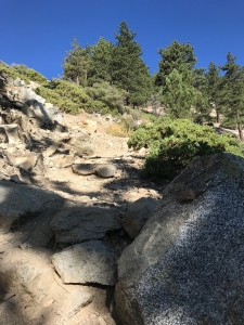
After the meadow, there is a series of steep switchbacks that warms you up for intensity of the trail. The switchbacks are lined with mostly scrubs, like chaparral, sage and clover patches. Beware of the bees humming along in the clover patches. If you are allergic, it would be wise to bring an epi-pen as a precaution.
Once you’ve conquered the switchbacks and have reached about 7,000 feet, there are several shady spots, thanks to the Sugar Pines and White Fir trees. Following along the steep path, you slowly start to think about turning around. Unless you run out of water, don’t do it. Keep going.
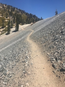
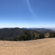
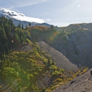
Eventually, you reach a large natural depression in the landscape where you can find some shady spots. Re-apply that sunscreen! Following the trail, you’ll reach the west ridge of Mt. Baldy for your last leg—a fairly forgiving climb comparatively.
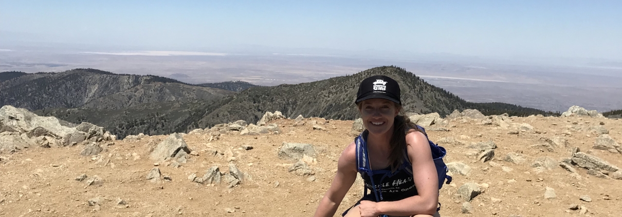
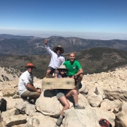
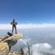
Reach the top and celebrate! You just climbed the highest point in the San Gabriels. Soak it in. Feel badass because you ARE.
Driving Directions: From the 210 east towards San Bernardino, exit Base Line Drive, make a right onto Pahua Drive and a right onto Mount Baldy Road. Park along the road and walk towards the old church located on the right side of the road, walk through the neighborhood and eventually you will find the trailhead—one of THREE signs you’ll see along the way. Stay alert.
Parking: Park alongside the road where available. I would not recommend parking in the church lot, although people seem to do it anyway.
Roundtrip mileage: 13.2 miles, 10 hours
Elevation: 10,064 feet
Elevation gain: 5,650 feet
What to bring: At least 3 liters of water, electrolyte tablets, snacks, hat, A LOT of sunscreen, phone/camera, mental sanity
Consider this: Bring all the water you think you need. This trail will push every ounce of brain you have. Just when you think you have the peak in your sights, the trail fakes you out and you’ll keep climbing onto an even steeper trail section than before. Frustration may kick in to a point where you question your sanity and safety. If you feel the need to turnaround, there’s no shame in that. Know your limits. But, if you remotely think you can handle it, DON’T GIVE UP.

