5 Camping Mistakes I Made in Zion and Why
Not every trip is full of sparkly images of you living your best life. Flights get canceled, surf or snow doesn’t show up, we mistime, we plan too far ahead or not enough, oh and this pandemic thing…we fuck up, we make mistakes and rarely do we admit it publicly…and we should more often because our lessons might help others.
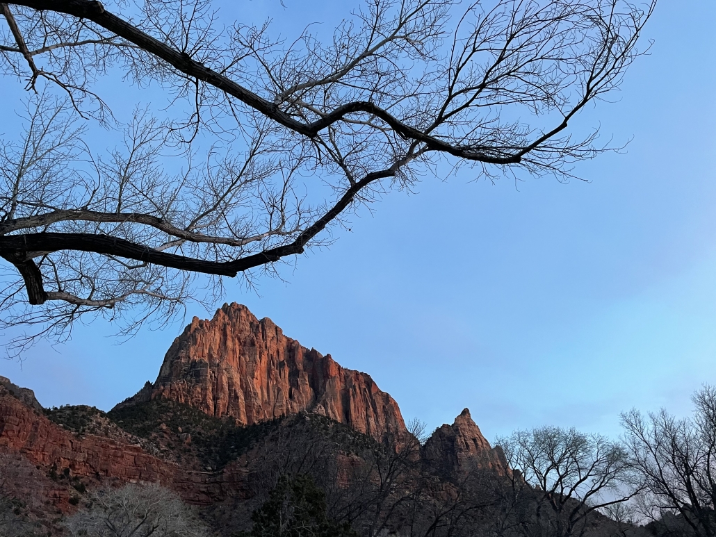
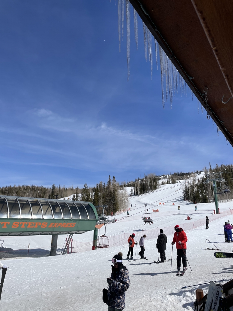
What normally I reveled in for the past several years (camping, nature, snowboarding, etc.) became a trip full of “damn why didn’t I think of thats!” In case you haven’t noticed, for the past couple of years, I’ve been camping at Zion National Park and have been soaking up the challenge of conquering my fear of heights by hiking Angel’s Landing and recently made it a point to stop by Brian Head for a snowboarding session.
I think in between the recent death of someone falling off of Angel’s Landing on the same day and getting bad dizzy spells while hiking Angel’s Landing for my third time, I began to realize…I need to calm down. :D
But don’t worry—I’m not going to quit adventuring, I think this is one of those trips where there are lessons learned as opposed to goals achieved. I’m confessing my mistakes so you don’t do the same things I did:
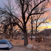
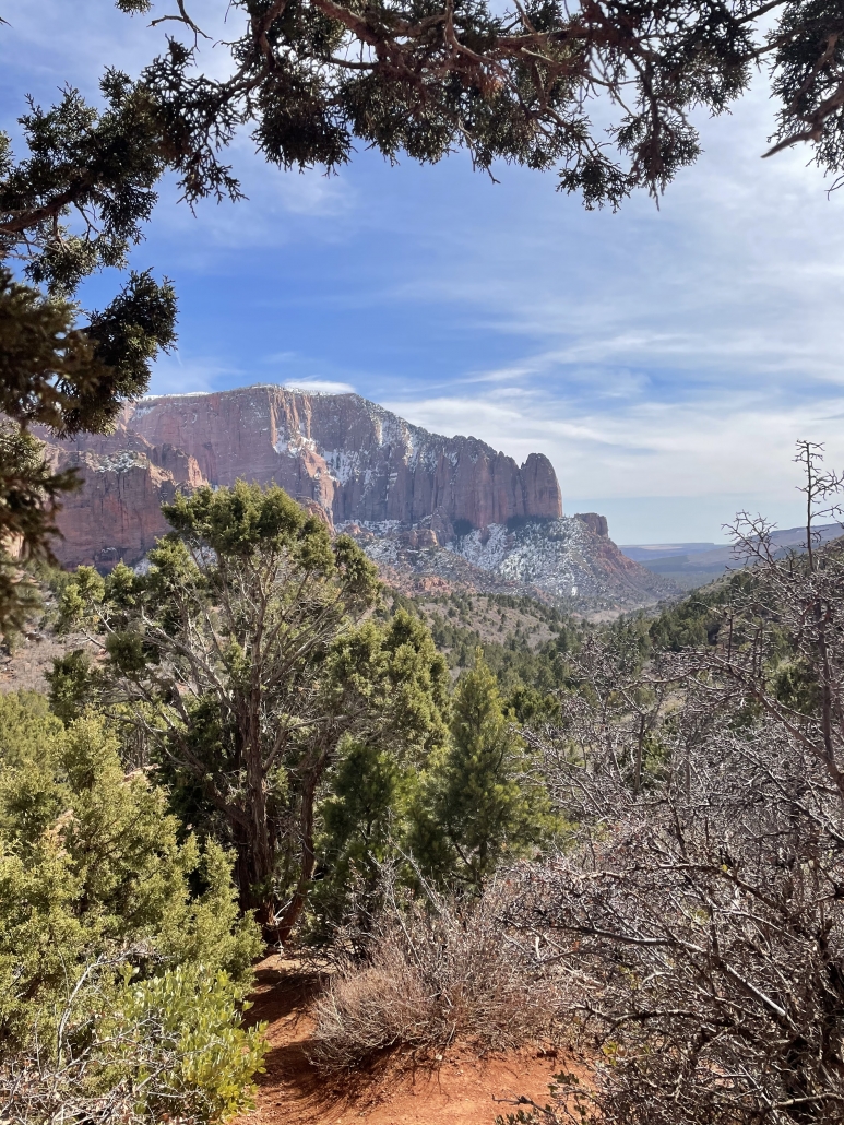
1.Sleep is essential. Get some at all cost!! I am the world’s lightest sleeper. A pin drop would wake me up. So when 40 mph winds came tunneling through the canyon, shaking and jostling my tent All. Night. Long, every night… I had a hard time with everything I did. It didn’t help that I forgot a pillow, so I bundled up my puffiest gear, but guys—a zipper or button on the face all night long doesn’t exactly feel or look grand the next day. Not mention my neck was tweaked all six ways of something special. The next day, I woke up and rode my bike 6 miles up hill to the Angel’s Landing trailhead and on other days, went hiking and driving to Kolob Canyon and drove for 1 1/2 hour to snowboard. I can say-because of lack of sleep, my motivation and patience was at an all time low, like I had never seen before. Not a good feeling to have.
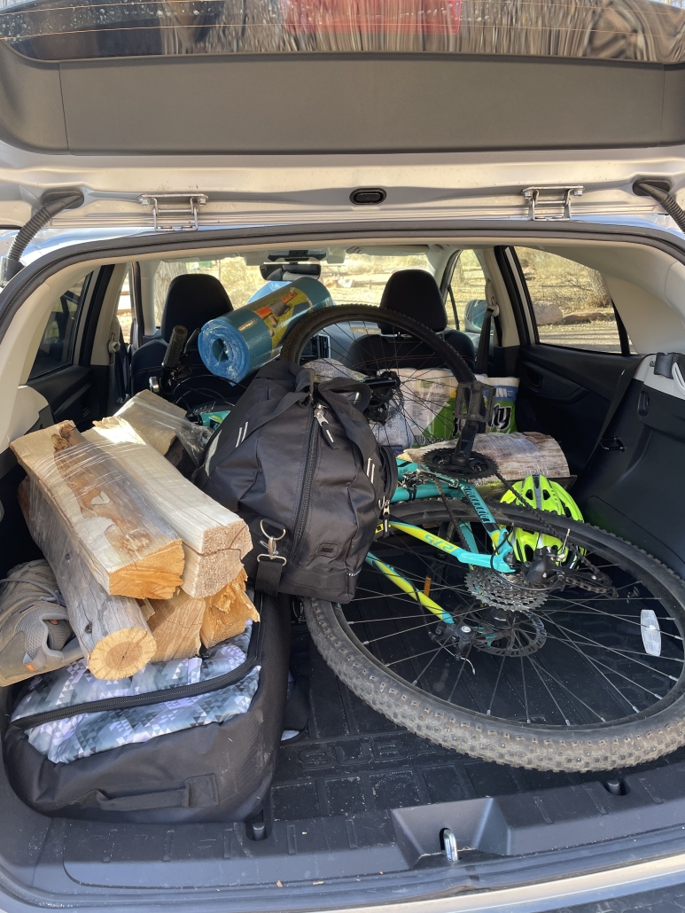
2. Check your gear. The normally free Zion shuttle was charging $1 for rides and you have to book in advanced to get a ticket. Each day was completely booked and full, but I will add that you can find tickets at the last minute, but my phone didn’t have a great signal, so I brought my bike.
I didn’t know until I was about a mile biking into the canyon on the Pa’rus, but my tires were flat and I was beginning to wonder why I felt so out of shape. Fortunately, I met this nice couple on the trail & they kindly filled up my tires and, already winded, I was on my way a lot faster. It really is a beautiful ride, I highly recommend, but make sure to bring proper gear, like a bike pump.
3. Hydration. Hydration. Hydration. Sometimes when it’s colder, we might forget to drink water, but it’s imperative to do so, especially if you plan to do a strenuous bike/hike and it’s a desert climate. I was so focused on getting to the trailhead, I also forgot to drink water.
It was late in the day when I finished my 6-mile bike ride & started at the trail (around 11:00 am) and there were a crapton of people. No sleep combined with minimal water and beautiful nature distractions and my literal insatiable determination had me sending one foot in front of the other up the trail. I wanted to get to the top of Angel’s Landing around 1:30 so I could eat something. Why didn’t I eat something before hiking? The crowds + stupid COVID were making me nervous, so my mind was focused on completing the trail and catching the views…and eating my tasty sandwich at the peak, of course.
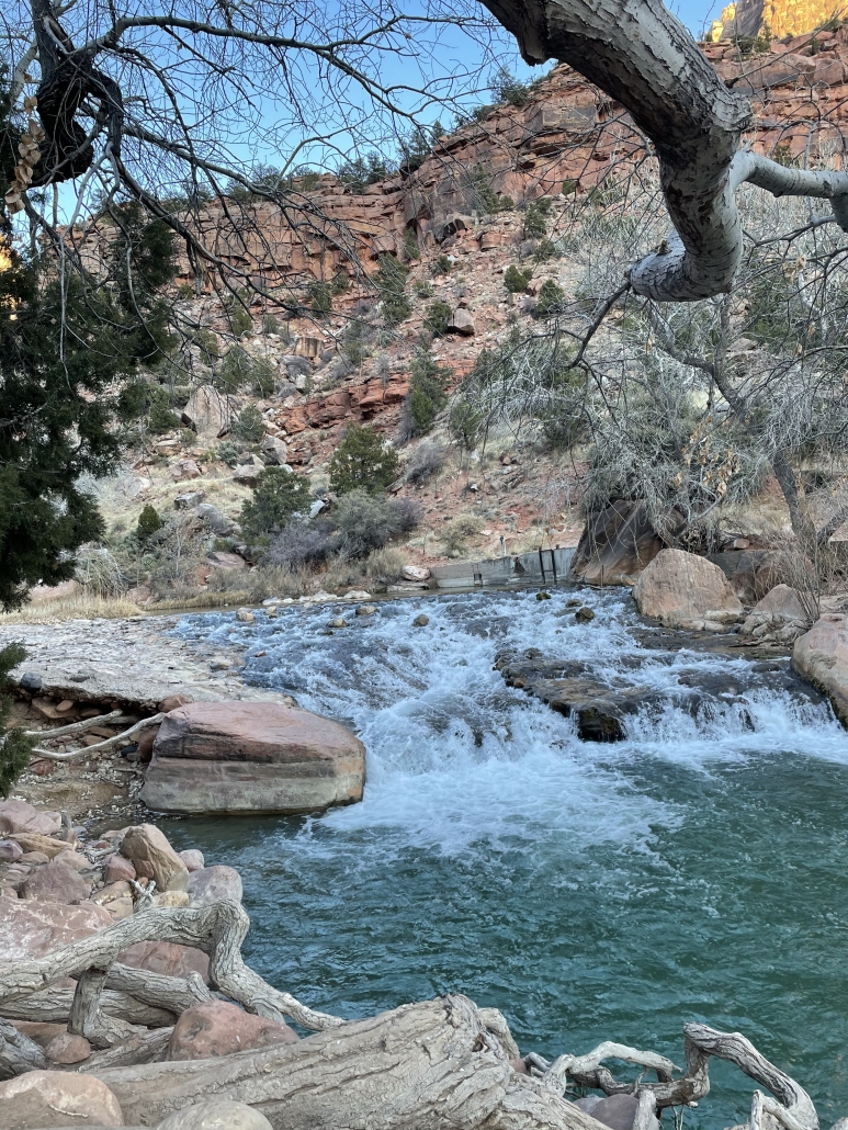
Don’t drink the water! The beautiful Virgin River ain’t too pure, lots of signs everywhere warning you why.
By the time I got to the beginning of Angel’s Landing (the last quarter mile of the West Rim Trail), I heard that someone had fallen off that morning and died and they just reopened the trail. I still went for it. Fuck it. I thought. I think my mentality wasn’t all there because I was pissed off at the world for the unimaginable crowds, the pandemic and the poor person who fell off that morning. Fuck it fuck it fuck it. I’m going.
Mindlessly, I proceeded down the spine and clasped the chains. Not shortly into my climb, I slipped and went a-sliding and made a family totally panic. (Sorry, guys) and still thought -fuck it. I continued to go forth, my nerves making me forget to drink water. Even though my stare was mostly straight forward, I still got dizzy with head rushes. By the last couple hundred yards before the official peak, I got so dizzy, I had to sit down. And yea, I was in between hyperventilating and tears when this lovely gal from LA who was climbing behind me, immediately came to my rescue. She sat with me and gave me some electrolyte powder, which I straight shotgunned into my throat and immediately felt like I was foaming at the mouth. Her and her group adopted me and I was so thankful they did. So, nice folks in LA DO exist. :) Before my 6-mile bike ride back to camp, we all shared some margaritas and stories, hydration be damned.
4. Eat real FOOD. Maybe I haven’t gotten this camping thing down 100 percent, but I brought dehydrated meals to save on space and to get what I thought was adequate protein. I also brought fresh fruit and snacks for daaaays and plenty of protein bars. After day 2 of dehydrated meals for dinner as well as snacks, sandwiches and fruit, my body wasn’t having it anymore. I couldn’t make myself eat any of my stuff, honestly because all I could think about were eggs, hash browns, bacon and toast with tea or coffee. As I left Zion, I got exactly that at Oscar’s Cafe in Springdale and I could feel my body doing a little happy dance in between bites.
5. Check yourself before you wreck yourself. With closures far and wide and the confines of stay-at-home orders, businesses biting the dust and extra safety protocols for public spaces, people are longing to get out and literally breathe fresh air …without contracting covid, of course. With all this pent up energy, I think I got ahead of myself and forgot to pause and check my mentality before pursuing my annual Zion + snowboarding trip. I was so focused on getting away and getting out…just like everyone else. And my expectations of low crowds, beautiful scenery and adventure did not match the pandemic reality. Crowds were aplenty and I’m trying to learn patience with people and the pandemic times while also looking at what I want out of trips versus what I will actually get.
My normal positive mental attitude wasn’t 100 percent there, in case you can’t tell. :D Signs of the times were everywhere, including not only the one death but another suicide at Angel’s Landing earlier that week, crazy crowds like I’ve never seen and constant roadblocks that never used to exist. In hindsight, which, ironically, is always 2020 (haaaa), I should’ve just hiked past Angel’s Landing, found a way to get better sleep and made more of an effort to hydrate myself and eat real food.
Snowboarding, on the other hand, was my one saving day and had me leaving southern Utah with a very tired smile.
Hindsight…Maybe we can change that “hindsight is 2020″ thing…
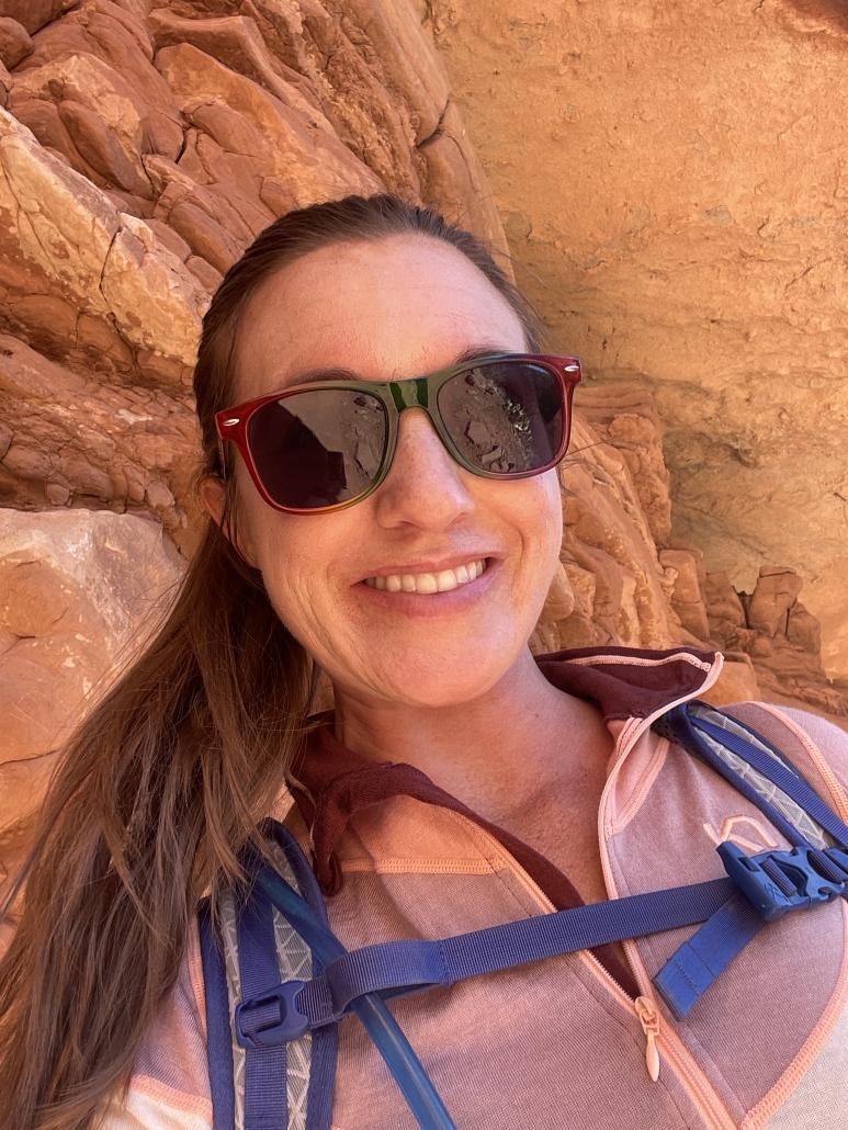
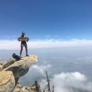
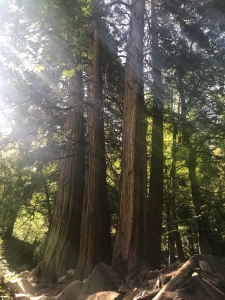
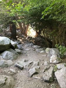
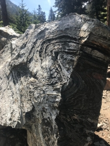
It wasn’t ALL camping mishaps. Check out a few more photos from Zion, Kolob and Brian Head in my album below!
And a long compilation of my videos from Zion to Kolob Canyon and Brian Head, too:

